


Orioshuttle is on Google Maps!
DISCOVER THE LINES


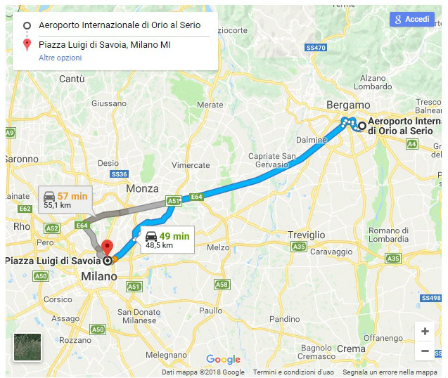
Thanks to the Transit feature of Google Maps, it will become easier to gain informations about Orioshuttle’s routes/lines/timetables, to reach the desired destination in the easiest way.
Google Transit will automatically use mobile’s location to suggest the fastest route and the detailed travel plan.
Orioshuttle has chosen to join the Google transit program because of the reliability, diffusion and accessibility that the program grants to the users.
Google Transit will automatically use mobile’s location to suggest the fastest route and the detailed travel plan.
Orioshuttle has chosen to join the Google transit program because of the reliability, diffusion and accessibility that the program grants to the users.